Image
New AI tool generates realistic satellite images of future flooding
The method could help communities visualize and prepare for approaching storms.
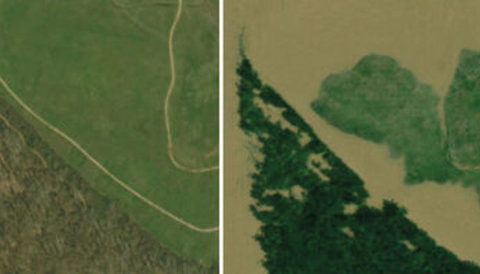
Visualizing the potential impacts of a hurricane on people’s homes before it hits can help residents prepare and decide whether to evacuate. MIT scientists have developed a method that generates satellite imagery from the future to depict how a region would look after a potential flooding event. The method combines a generative artificial intelligence model with a physics-based flood model to create realistic, birds-eye-view images of a region, showing where flooding is likely to occur given the strength of an oncoming storm.